
Today's walk started at Haedanghwa Pension, passed two certification centers, and ended with me in downtown Goseong-gun, in a so-called "motel" that's actually a yeogwan.
The walk was supposed to take five hours, but it took closer to eight, and this was for a few reasons. First, the walk was hilly in several spots, which slowed me down. Second, I was shutterbugging every ten meters, clicking away at every new and interesting sight as if I were a curious, excitable puppy. (For that image to work, I guess you need to know a puppy who owns a camera.) Third, my Naver app and I had some disagreements about which path to take. Naver insisted on the shortest, fastest route; I, meanwhile, insisted on the official route. This wasn't as big of a problem on the Four Rivers trail; almost every route plotted by Naver faithfully followed the Four Rivers path. Not so this time.
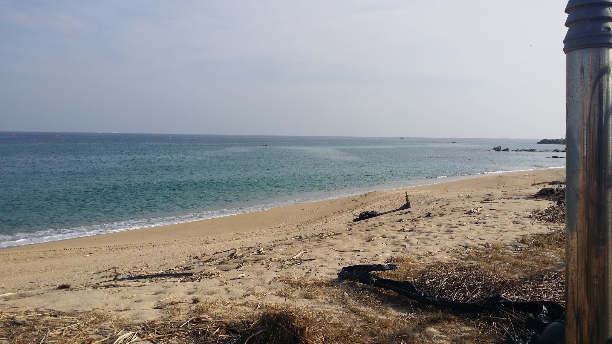
I didn't realize, at first, that this was happening. Naver kept pulling me away from the shoreline, and only belatedly did I see that the official trail hugged the beaches more closely than did my Naver-plotted route. Once I knew what was happening, though, I took over. Unfortunately, I discovered that the official route also often swerved away from the coast to take me frustratingly inland. All in all, my impression of the first day was somewhat disappointing: not enough ocean!
I was wrong to think I wouldn't be alone on the trail; there were precious few bikers and almost no walkers, but there were plenty of cars and trucks. This was by no means a quiet walk, except maybe for the first two hours. The route took me through small villages and along highways; some of those highways had sidewalks to keep me safely out of the way of traffic, but not all of them did. The Unification Observatory Certification Center, the first of two such centers today, wasn't located anywhere near the actual observatory. Several sections of the trail were taped off and guarded by "No Entry" signs; I ignored every such instance and followed the markings for the bike trail. No one stopped me. The second certification center was more to my liking: it sat out in a quiet, picturesque area, surrounded by nature. At both centers, I got stamps to commemorate my having passed through.
I noted that, out in these parts, townies generally didn't wear masks when outside. I'd call that wise. You can't be a coward all your life, living in fear of a virus that has turned out to be harmful only to a tiny sector of the populace. I also noted that others were ignoring the "No Entry" signs as well. Some of those signs justified their existence by claiming it wasn't safe to be on the path because of hurricanes. Uh-huh. No storms today or in the near future, so no safety issues. People out on the coast and away from the big cities are more rebellious. Good.
Very little of what I walked today would qualify as a bona fide bike path: today was mostly highways and back roads. This was partly because of the Naver snafu mentioned above, and partly because that was the nature of today's trail. We'll see what tomorrow is like.
I have tons of pics to slap on the blog, but Blogger is still being a bitch about uploads. Pics will have to wait, I'm afraid. Sit tight.
Before I sign off, one incident from early in the walk is worth mentioning. Barely thirty minutes into my trek, I happened upon an older gentleman who wanted to know whether he was close to such-and-such elementary school. I tried to help him find the school on my phone's map app, but Naver said, "No result." The man nodded sagely: "We're close to the DMZ." I finished his thought: "So everything is secret." The man and I talked a bit; he was doing his own 28K route today, and he had nearly finished it. This meant he must have started around 2 or 3 a.m., which wasn't surprising, given the oldsters I've seen out on the trail in Seoul at all hours of the evening and night. We bade each other cordial farewells, and it was only then that I suddenly realized that Naver's "no result" reading was because I had been on WiFi and not LTE: I had moved out of range of any WiFi, and I hadn't manually switched over to LTE, so I had no signal at all. I felt bad for the old man when I realized this, but he seemed both cheerful and competent, so I don't doubt he figured things out for himself.
PHOTO ESSAY:
Saying goodbye to Haedanghwa Pension:


Only a couple hundred meters from the pension, a long, slow hill greets me. On either side of the road, you see these huge, painted concrete blocks sitting on thin concrete stands. Look closer, and you see the stands have explosives tucked into them. The idea is that, should enemy vehicles be approaching, a military commander can give an order, the stands will be blown, and the blocks will tumble onto the road, blocking the way. (This is a two-edged sword, of course.)

A closer look:

The hill isn't too steep, but it's long and relentless:


More defensive blocks:


We're away from the ocean, so there's plenty of farmland:


Here's an anomaly: a single jangseung:


Yup—we're still on that same hill:


Collapsed earth is always entertaining... unless you're there when it happens:


It's been a couple of kilometers, and still no ocean. Just a squid house:

Funky shwimteo:


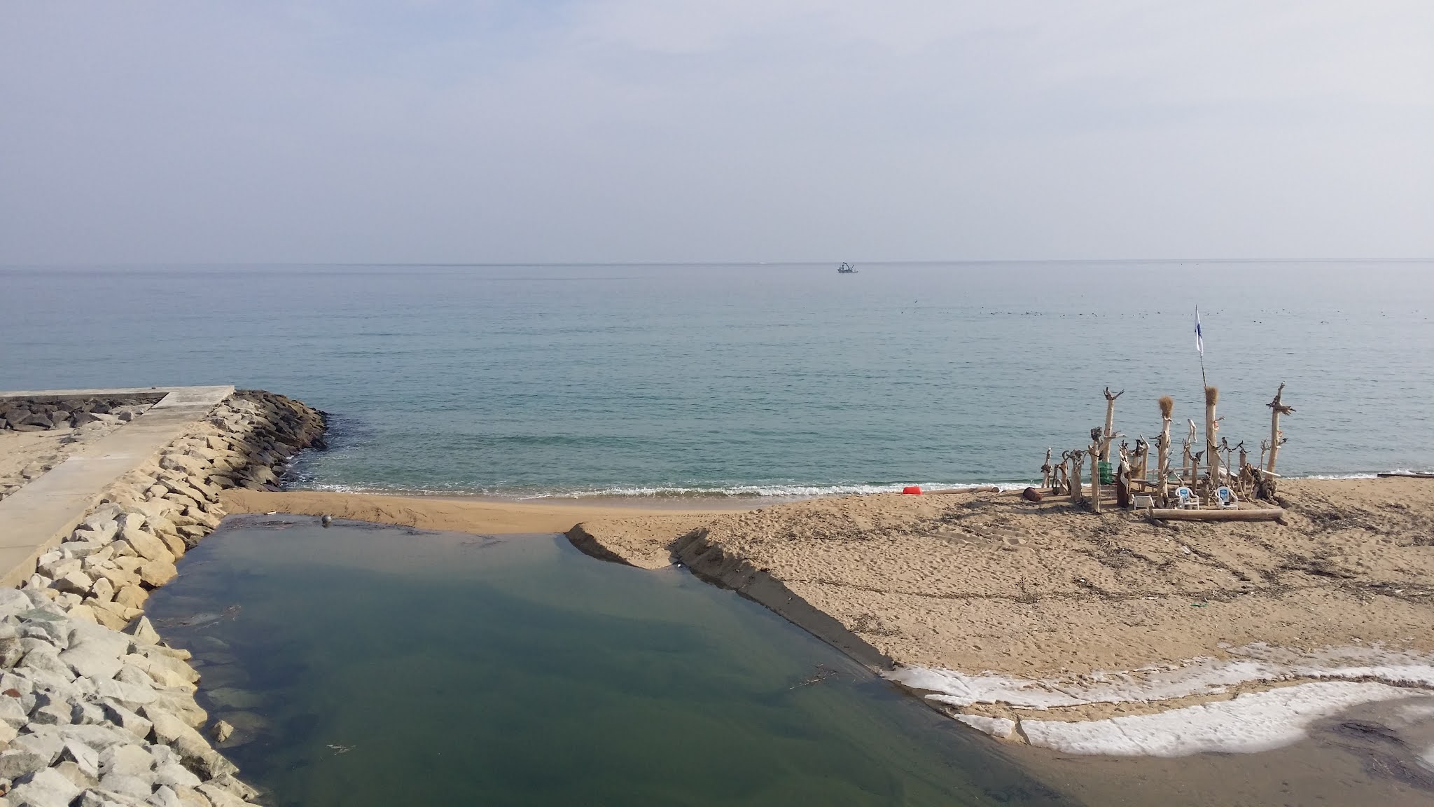
My first goal of the day is the Unification Observatory Certification Center, of which there are apparently two (통일전망대 [민통선내/외] 인증센터), and neither center is the observatory itself. The sign below points to the actual observatory, which I never saw:


My first real glimpse of the big water:


Squid and other critters, just a-hangin' out:


First sight of the cert center:

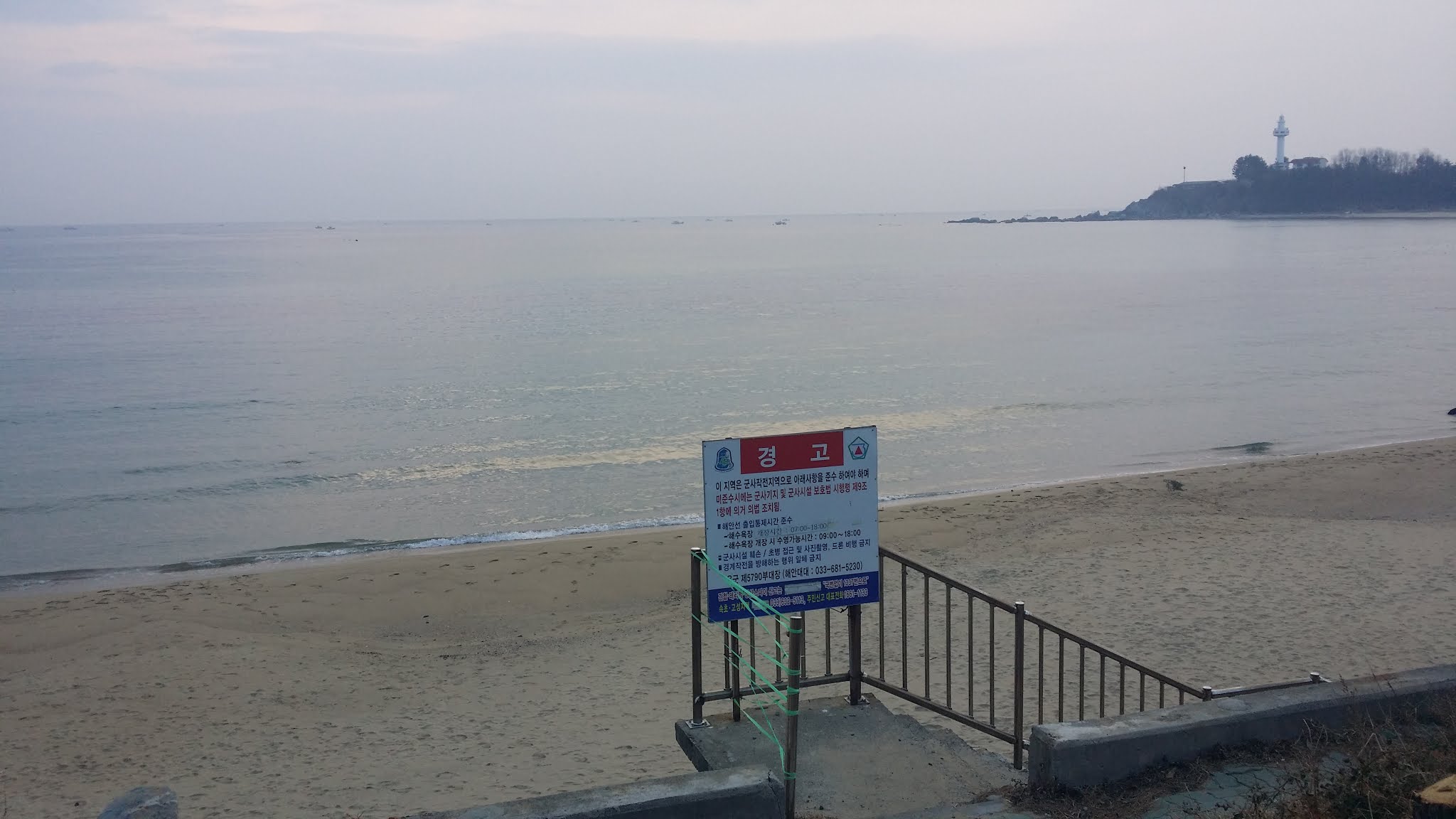
And the first in a neverending series of forbidding signs:

"Hot Place." Heh. A description of somewhere sexy... or hell?

The sign on the left is talking about restrictions due to African swine flu. The right-hand sign says you're not to visit pig farms for at least a week after you've visited either the DMZ Museum or the Unification Observatory. So stop visitin' them pig farms, Jethro!


I approach the cert center for my first stamp of the day:


It is accomplished:


Fences topped with concertina wire will be a feature all along this trail for the remainder of my time on the east coast:

I seem to have ended the wilderness phase of the walk and have moved into the "seaside town" phase. There will be plenty of civilization:


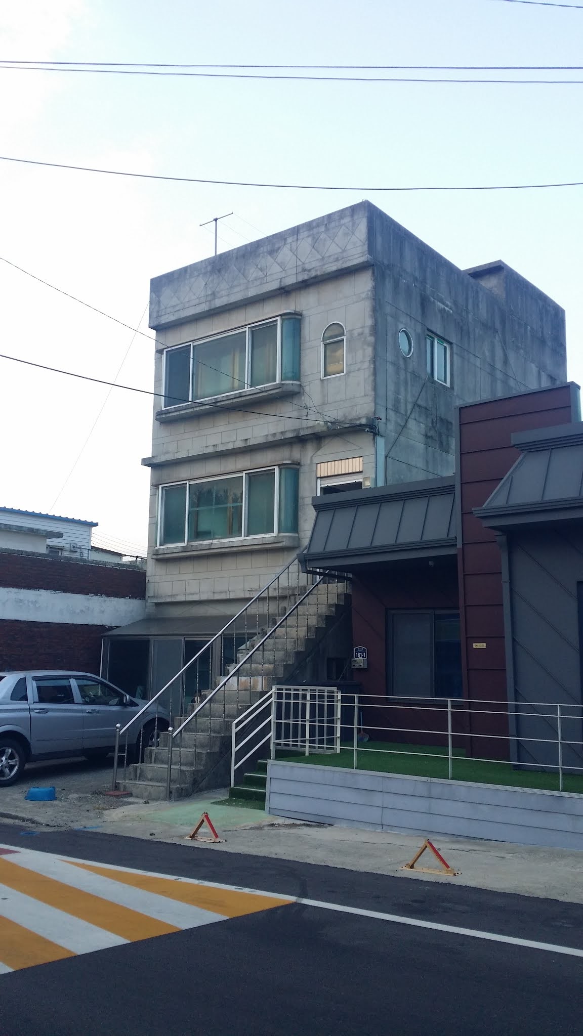
One of many pensions:

A weird-looking shwimteo:


The sign below is notable for pointing out Syngman Rhee's villa. Rhee was South Korea's first president (1948-1960) after the Japanese occupation ended.


Kitteh!

First respectable shwimteo of the day:

The first of many minbak. Not a single minbak looked particularly promising or appealing to me for the entire walk. Normally, a minbak is little more than a bedroom inside a family home that gets rented out. As the guest, you have the option of dining with the family, but there's no pressure to do so. Some minbak, though, are less family dwellings and more like stripped-down versions of yeogwan, with little more than floor space, bedding, and maybe a private or communal bathroom/shower on offer. Other minbak may be higher-end in quality, but I've never seen or used one of these.

I think the image below is of an apartment building, but what was baffling was the lack of a neighborhood infrastructure: normally, you've got shops and restaurants and convenience stores next to or close to apartments. There was nothing of the sort in this area. Very strange.


Your Humble Narrator:


Concertina wire, waiting to be unrolled and put to good use:

Militarily painted blocks:


I'm obviously swinging away from the water again:


One of the quieter dogs I passed:

Whoops—and we're back at the water's edge again.


Nets... used by Netizens, of course:


I had to wonder at what the story was here—a pile of wood next to a public restroom. There must be some reason why this makes sense to somebody:


A neighborhood with plenty of fish-themed restaurants, many serving some form of sashimi (called hoe—pronounced "hweh"—in Korean):


The dead are laid out neatly, their very geometricity pleasing to the sea god:


I sat down here to take a snack break:


Am always attracted to all things octopus:


Like when I was in France, the color blue seems to predominate:


Cartoon octopus wildly gesticulating in an attempt to get you to use the facilities:

"Come in! It's clean! No random shit spatters!"

The sky was looking lovely:


One of the few holy places I saw along the coast this trip:


A Buddhist center down the street from Daejin Church (which I'd just passed):


On the stone below is written haemaji, which is literally "sun greeting" or "sun welcoming," but for practical purposes, it would normally be translated as "sunrise." As you might guess, terms like "sunrise" and "beach" and "east" and "coast" get mixed and matched to the point of cliché along the beachfront.

I must be on the right track:


The vertical sign on the brick column says "shwimteo," so I had to take a picture of the whole thing:


Another repellent-looking minbak:

When I first wanted to take the pic below, the little girl on the left had raised her head high enough for me to see her cute little pigtails. By the time I'd swung my camera up, though, she had scrunched down to play in the sand, so the image below is the best I could do:


There's a lot of ice around, despite the local weather's not being very cold:


Fish, slowly morphing into leather:


I get the feeling that this area is famous for sea-urchin dishes:


Shower stalls. All closed in the winter:

A truly bare-bones shwimteo:


Picnic area. And you can see we've swung away from the water again:

Approaching an aquarium/park (closed, of course):


To the right is a lake (Hwajin-po):


The lake is partially iced over:


This feels almost like a stroll along the Four Rivers path. During this section of the walk, I contemplate owning a bit of lakefront property. There are worse fates in life than to wake up to a lake and mountains every morning.


Alas, as you see below, I'm leaving the lake to follow a highway. Plenty of noisy cars. In case you're wondering why you never seem to see those cars I keep complaining about, that's because I try to time my photos so as not to have cars in the shots. Same for walkers and bikers. If humans manage to get into frame, that's due to bad timing, not due to planning.


The sign below notes "Ganseong," i.e., Goseong, is straight ahead.


It's winter, so the farmland is all soggy furrows:


Some asshole erased the distance to the Hanaro Mart:


We're definitely away from the water:


But now we're back:


I found and visited the Hanaro Mart, taking a risk and buying myself some small bottles of black-raspberry juice, which turned out to be amazing. I've set up a "Products I Like" folder in my cell phone, and whenever I encounter some product I want to shop for again, I take a photo of it. So here's the newest Product I Like:


To trespass, or not to trespass? Guess what I chose to do when I saw this sign:


Sea-god worship is everywhere:


Not sure what this is, therefore I must take a pic:


Why are all these trees tied to each other? What kinky madness is this?


Yet another "no trespassing" sign. But the trail leads on:


No one bothers me while I walk illegally along the path:


Fuck you, restrictions! "Typhoon," my ass.


More nasty-looking minbak along this street:


This is what happens when the boss tells you to "build stairs that people can safely use," but you just don't give a fuck anymore:


The "choongdol-wiheom" sign—red font on an explosively yellow-orange background—is associated with those collapsing concrete blocks shown earlier. Choongdol can mean anything from "bump" to "collision/impact" to "crash" to "conflict." Wiheom, meanwhile, means "danger." This is a warning about the deadly potential of falling debris because this tunnel is probably mined and ready to blow should war ever flare up again. (Technically, the Koreas are still at war with each other; there is no peace treaty, but there is an armistice that functions as little more than a cease-fire, which is violated routinely by the North.)


I only belatedly noticed the dried peppers at my feet:

Dead vedge (I hate spelling it "veg"; that rhymes with "leg" in my mind):


A partially frozen-over canal:


Some rich person's property:


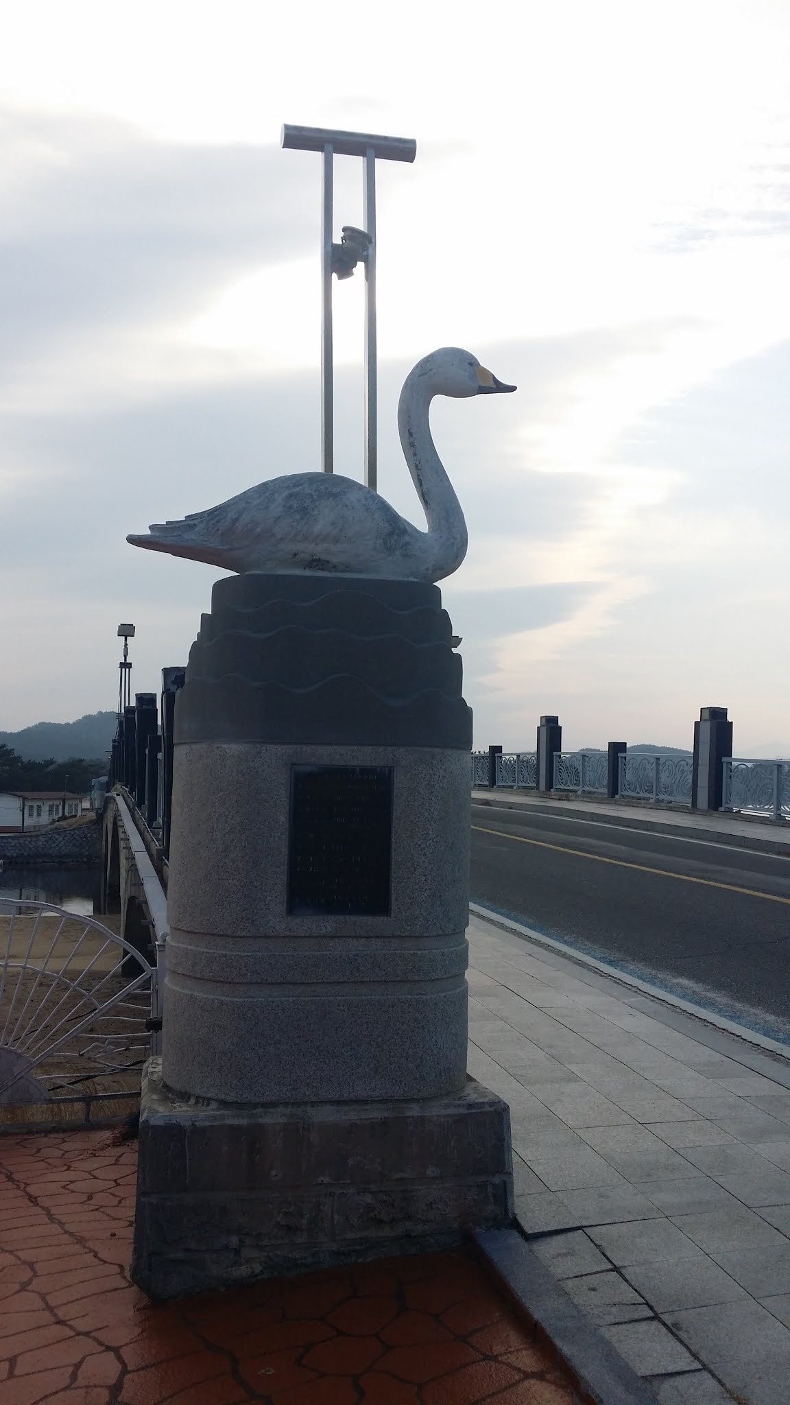
I'm now swinging slowly around a small mountain, moving steadily toward the second certification center of the day: the Bukcheon Rail Bridge Certification Center (복천철교 인증센터):


Fat Kevin looks fatter in a coat. Oh, well:


You don't see it, but cars are rolling past me about every thirty seconds, and it's annoying as hell:

Barely visible in the distance is the little red telephone booth:

Digital zoom to the rescue:


All I have to do is cross this bridge...


Et ça y est!

I admired the shwimteo but didn't rest there:


I stamped twice because the first stamp ended up being upside-down:

And now, it's just a matter of walking to my motel, another 3K:


A history of the Bukcheon Rail Bridge, I presume:

Whatever this is, it's not a rail bridge:


I saw this bottle/can thing during my Four Rivers walks. What's that about?


Probably shouldn't have snapped a pic of a combat-training ground:


Shut yer face, Bob Barker:


Where I just passed through (Bongho-ri):


And this last pic is of a shwimteo. I didn't take pics all the way to the end of the day's walk, but by the time I took the pic below, I was maybe a kilometer away from my destination, so I don't feel guilty. You just waded through 356 goddamn photos—do you really need to see pics of a Korean motel? I'm pretty sure I've already provided enough such pics on my previous walk blogs. Go check those blogs out if you need a refresher. Meanwhile, stay tuned for Day 2, Leg 2.

5 comments:
sir. ill be back to office tomorrow. already you are there. becareful spy^^ there are near by north: )
take care. i will look at the blog again
Hopefully, today's trail will be more ocean-oriented and less traffic infested. Looking forward to the photos.
So, was the trail off-putting enough to make you reconsider doing the east coast hike to Busan?
Ian,
Yes, I'll watch out for spies!
John,
I think I'll know enough to answer that question after today's and tomorrow's walks. It's not all bad, but there really is a ton of road-walking-- today as much as yesterday.
yes. Kevin선생님. now too cold our office. come back soon plz.
There was a huge typhoon around Chuseok which tore up parta of the trail. There are parts which were impassable when i did it in October.
The 충돌위험 i think implores you to be careful of collisions with oncoming cyclists in the dark narrow passageway.
The cans and bottles are presumably tjere to act as scarecrows.
Post a Comment